Spain
Weather Spain - Unstable in the northeast, local thunderstorms

Today, September 1st, the meteorological autumn begins in the northern hemisphere. Experience has shown that this also brings the first change in the weather and statistically this is particularly noticeable on the east coast of Spain.
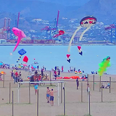
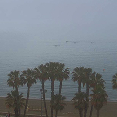
The outlook for the coming week is therefore not unusual. We expect unstable weather and local thunderstorms with heavy rain and occasional hail. In our ICON forecast, for example, we expect 20 mm of rain for Valencia on Monday and 19 mm on Tuesday. And we also have another 8 mm of rain forecast for Wednesday. But there will also be thunderstorms in Barcelona, with 17 mm of rain on Tuesday and 8 mm on Wednesday. There is also a thunderstorm forecast for the city of Palma de Mallorca for Monday and Tuesday with up to 14 mm of rain.Malaga has had hot, humid weather for weeks now. At night, our weather stations measure temperatures of over 25 °C and the humidity is 80%. Currently, Sunday morning at 6 a.m., our weather station at Malaga airport reports 27 °C and 77% humidity, which is a perceived temperature of 32 °C. To make matters worse, there is no wind. As of now, this weather situation is not really going to change.
Our current hourly forecast (updated 4 times a day) for your location for the next 10 days is available here on meteo365.es
Our radar with NowCast shows you what's currently happening. Where are there currently thunderstorms and precipitation and what the path will be in the next 60 minutes.
meteo365.es is one of the world's leading providers of interactive weather maps. In our home market of the province of Malaga / Costa del Sol, we are by far the leading information portal for real-time weather.
Hourly measurements and daily statistics from around 800 measuring stations in Spain can be found here on meteo365.es

Thunderstorm and rain this morning at 4:15h.