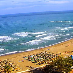
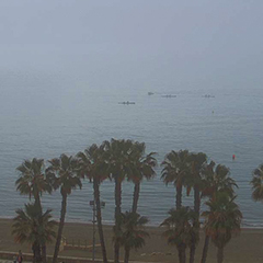
Andalusia
Weather in Andalusia - Heavy rain at the weekend

The weather situation is changing and unstable weather will take over in the coming days.
From Friday evening, according to our current ICON forecast, there will be plenty of rain, especially in the Andalusian provinces of Huelva, Seville and Cordoba. Here are a few examples: 100 mm of rain is forecast in Huelva by Saturday evening. 57 mm for Seville and 30 mm for Cordoba. Locally, there are forecasts that are significantly higher. In Almaden de la Plata (Seville province), 170 mm of rain is expected.On Sunday and Monday, there will be rain on the Costa del Sol. We have 54 mm in the forecast for Malaga, 64 mm for Torremolinos and 68 mm for Torrox.
Of course there is still uncertainty as to when and where how much rain will actualy fall, but our ICON and GFS models both definitely predict rain.
Our current hourly forecast (updated 4 times a day) for your location for the next 10 days is available here on meteo365.es
Our radar with NowCast shows you what's currently happening. Where are there currently thunderstorms and precipitation and what the path will be in the next 60 minutes.
meteo365.es is one of the world's leading providers of interactive weather maps. In our home market of the province of Malaga / Costa del Sol, we are by far the leading information portal for real-time weather.
Hourly measurements and daily statistics from around 800 measuring stations in Spain can be found here on meteo365.es