White Christmas
Snowfall - complicated travel to ski resorts
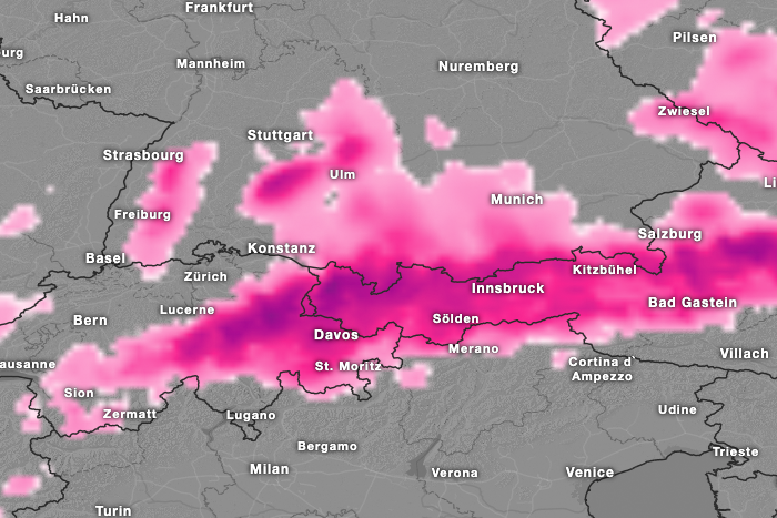
From Sunday evening, according to our ICON EU forecast, the snow line should drop to 500 m. On Christmas Eve and Christmas Day there will be plenty of fresh snow locally, which will make travel to the ski resorts more difficult. Drivers should therefore definitely have the right winter equipment for their vehicle.
Here are a few examples of the forecast amounts of snow until Wednesday: Feldberg in the Black Forest 50 cm, Freudenstadt 18 cm, Salach Lift Swabian Alb 20 cm, Balderschwang 70 cm, Garmisch-Partenkirchen 35 cm, Reit im Winkel 50 cm, Zürs 100 cm, St. Anton am Arlberg 45 cm, Lech 70 cm, Damüls > 100 cm, Kitzbühel 45 cm, Bischofshofen 28 cm, Schladming 30 cm, Andermatt 50 cm, Davos 45 cm, Sankt Moritz 20 cm and Adelboden 40 cm.Our current hourly forecast (updated 4 times a day) for your location for the next 10 days is available here on meteo365.es
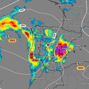
Our radar with NowCast shows you what´s currently happening. Where are there currently thunderstorms and precipitation and what the path will be in the next 60 minutes.
meteo365.es is one of the world´s leading providers of interactive weather maps. In our home market of the province of Malaga / Costa del Sol, we are by far the leading information portal for real-time weather.
Hourly measurements and daily statistics from around 800 measuring stations in Spain can be found here on meteo365.es
Don´t miss anything and follow us on X
