Iberian Peninsula
Weather Spain - Hurricane gusts and waves of 10 m

There is a lot going on in the North Atlantic these days. First, Storm Éowyn caused destructive winds in Ireland, Northern Ireland and Scotland, and today Storm Herminia is approaching. Herminia is also hitting the Iberian Peninsula.
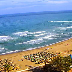
Hurricane gusts of 148 km/h are currently being measured in the north of Spain. On Monday, waves of 10 meters are expected on the Spanish North Atlantic coast, and of course the RED warning applies. The red warning also applies to the Portuguese Atlantic coast.Andalusia
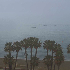
Storm Herminia is also having an impact on the weather in Andalusia. It will be unstable, with rain falling locally and snow in the Sierra Nevada. It will also be stormy, especially on Tuesday, and hurricane gusts can be expected at higher altitudes. But we also expect stormy gusts at Malaga airport on Tuesday afternoon.
Our current hourly forecast (updated 4 times a day) for your location for the next 10 days is available here on meteo365.es
Our radar with NowCast shows you what´s currently happening. Where are there currently thunderstorms and precipitation and what the path will be in the next 60 minutes.
meteo365.es is one of the world´s leading providers of interactive weather maps. In our home market of the province of Malaga / Costa del Sol, we are by far the leading information portal for real-time weather.
Hourly measurements and daily statistics from around 800 measuring stations in Spain can be found here on meteo365.es
Don´t miss anything and follow us on X