Europe
Weather in Europe - Rainy weather or golden autumn?

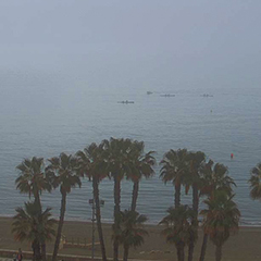
Hurricane Gabrielle will hit the Azores on Friday and then transform into a low-pressure system, which will then hit the Iberian Peninsula on Sunday. The low will then bring local rain, squalls, and isolated thunderstorms until Monday.
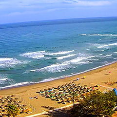
But let´s take a look at our trend forecast to see what we can expect in Europe from October 1st onwards. High pressure is taking over! The first week of October is expected to be dry and warm in Central and Western Europe. Highs of 31°C are expected in Andalusia, highs of 25°C are forecast in France, and very mild temperatures in the east of England will reach 20°C to 22°C. Temperatures of up to 24°C are forecast for Germany, and up to 21°C in Austria and Switzerland.
Our current hourly forecast (updated 4 times a day) for your location for the next 10 days is available here on meteo365.es
Our radar with NowCast shows you what´s currently happening. Where are there currently thunderstorms and precipitation and what the path will be in the next 60 minutes.
meteo365.es is one of the world´s leading providers of interactive weather maps. In our home market of the province of Malaga / Costa del Sol, we are by far the leading information portal for real-time weather.
Hourly measurements and daily statistics from around 800 measuring stations in Spain can be found here on meteo365.es
Don´t miss anything and follow us on X