Spain
Weather Spain - From Thursday onwards rain and Saharan dust = Muddy Rain
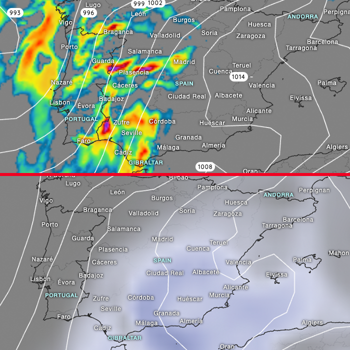
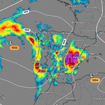
Storm Claudia is building up east of the Iberian Peninsula and the fronts of this low-pressure system extend as far as the Canary Islands and the Spanish mainland.
Current weather model forecasts agree that it will be stormy and that there will be localized heavy rainfall events, which of course can lead to flooding and landslides.An orange weather warning will be in effect for some areas of the Canary Islands starting Wednesday evening. Forecasts: Fuencaliente de La Palma 50 mm, Amarilla Tenerife 50 mm, Maspalomas 24 mm. Storm Claudia will then bring heavy rain to the Spanish mainland starting Thursday. Due to the simultaneous influx of Saharan dust from North Africa, muddy rain is also possible. Currently, we have a cumulative rainfall forecast of up to 50 mm in some areas of western Andalusia.
Our current hourly forecast (updated 4 times a day) for your location for the next 10 days is available here on meteo365.es
Our radar with NowCast shows you what´s currently happening. Where are there currently thunderstorms and precipitation and what the path will be in the next 60 minutes.
meteo365.es is one of the world´s leading providers of interactive weather maps. In our home market of the province of Malaga / Costa del Sol, we are by far the leading information portal for real-time weather.
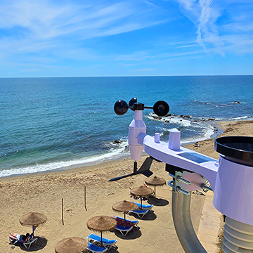
Hourly measurements and daily statistics from around 800 measuring stations in Spain can be found here on meteo365.es
