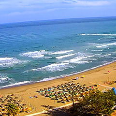
Andalusia
Weather in Andalusia – Low-pressure systems dominate the pattern

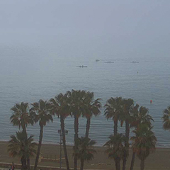
Spain remains under the influence of several low-pressure systems over the North Atlantic. As a result, February begins much like January ended, with Andalusia once again in the spotlight.
According to our latest ICON-EU forecast, updated this morning, the first week of February will bring even more rainfall to Andalusia, with periods of potentially life-threatening weather. Heavy rain will once again lead to flooding and landslides. The peak of this episode is expected on Wednesday and Thursday.Rainfall totals of up to 250 mm are forecast for Grazalema, more than 100 mm for Ronda, around 70 mm for Marbella, approximately 45 mm for Málaga, 70 mm for Nerja, and close to 200 mm for Borreguiles (Sierra Nevada).
The snow line is expected to rise to around 2,500 meters, meaning rain in Pradollano and significant snowfall from the mid-station at Borreguiles upwards, with substantial new snow accumulation.
Our current hourly forecast (updated 4 times a day) for your location for the next 10 days is available here on meteo365.es
Our radar with NowCast shows you what´s currently happening. Where thunderstorms and precipitation are occurring right now, and what their path will be over the next 60 minutes.
meteo365.es is one of the world´s leading providers of interactive weather maps. In our home market, the province of Malaga / Costa del Sol, we are by far the leading information portal for real-time weather.
Hourly measurements and daily statistics from around 800 weather stations in Spain are available here on meteo365.es