Spain
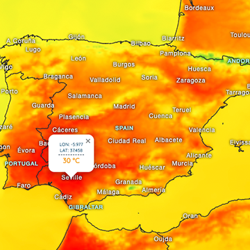
Weather Spain - Plenty of rain locally over the next few days

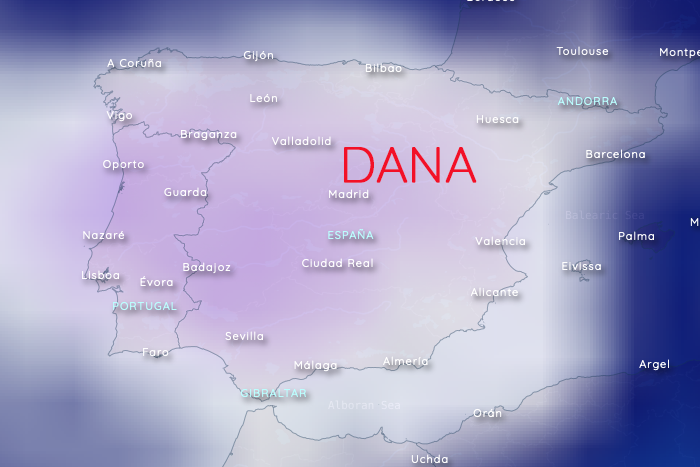
Temperature forecast - 30/10/24 - 22.00 h - 700 hPa
Cold air is moving from the northwest towards the Iberian Peninsula. Over the next few days, a cold drop (spanish: DANA) will develop, which will reach its peak at the end of October. This means that, according to the current forecast, there may be intense rainfall locally.
According to the latest GFS forecast, most of the rainfall is expected in the west of Andalusia. The Gibraltar, Marbella and Serrania de Ronda areas are expected to receive plenty of rain again, but the east of the province of Malaga is also expected to receive rain now.There are still a few days to go and a low pressure is always difficult to predict, so it´s good that we update our forecasts four times a day.
Our current hourly forecast (updated 4 times a day) for your location for the next 10 days is available here on meteo365.es
Our radar with NowCast shows you what's currently happening. Where are there currently thunderstorms and precipitation and what the path will be in the next 60 minutes.
meteo365.es is one of the world's leading providers of interactive weather maps. In our home market of the province of Malaga / Costa del Sol, we are by far the leading information portal for real-time weather.
Hourly measurements and daily statistics from around 800 measuring stations in Spain can be found here on meteo365.es


