
DANA Alice - meteo365.es was on site
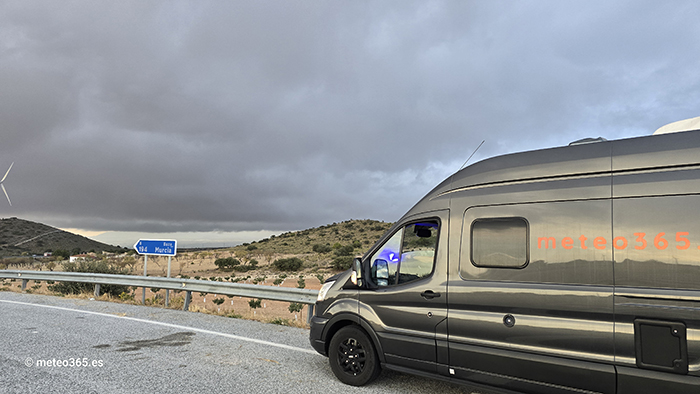
DANA Alice (cold drop) has been causing severe weather since Thursday. meteo365.es set off on Thursday afternoon, heading for Benidorm. The highest severe weather warning, Level Red, was also issued for the Benidorm region.

Text size
Line spacing
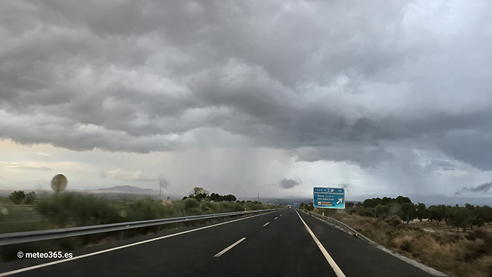
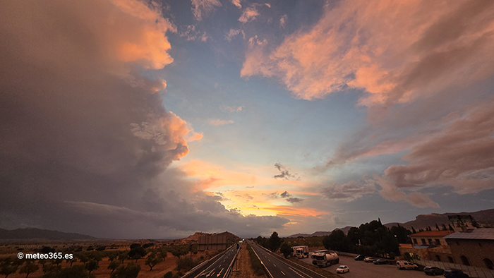
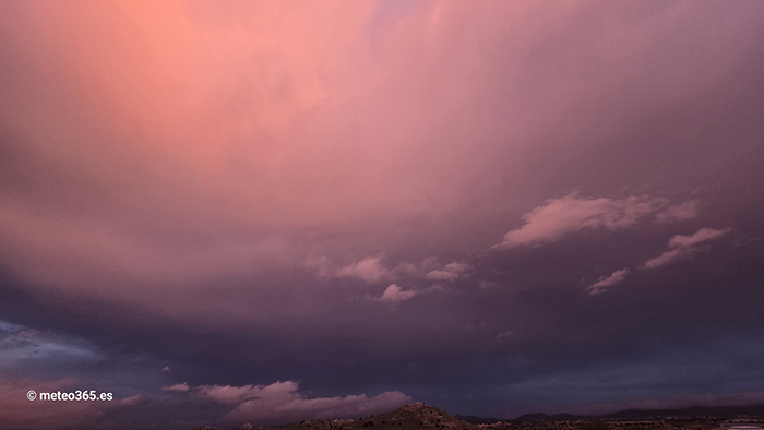
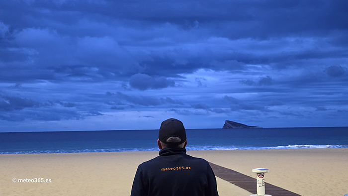
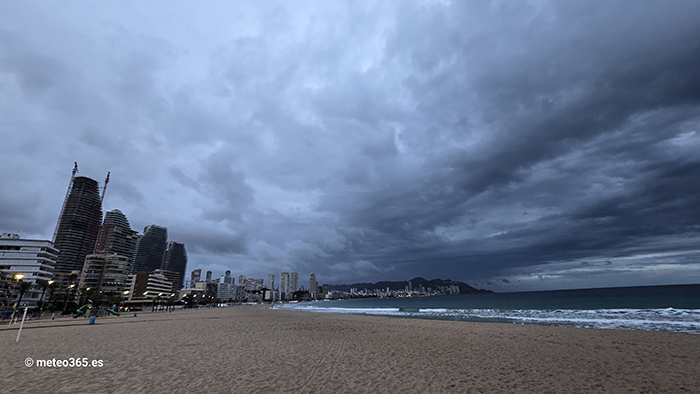
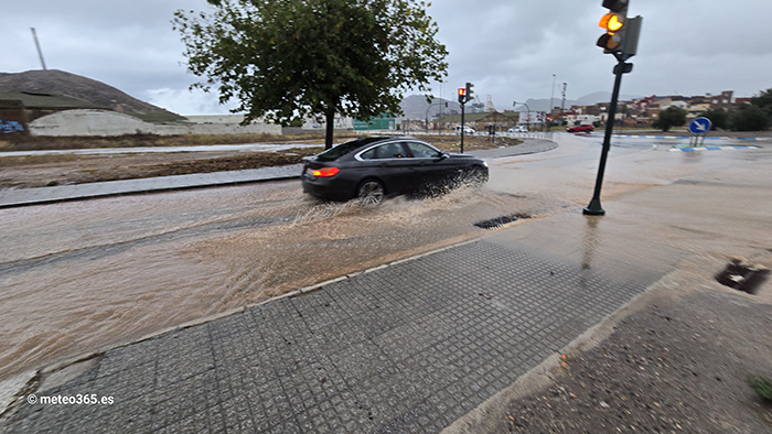
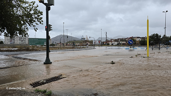
We were already hit by a rain shower in Granada, ultimately recording 26 mm of rain there. Further thunderstorm cells formed toward Lorca, and the next heavy rainfall occurred in Baza. Upon arrival in Benidorm, there was only light drizzle. At sunrise, there were thick, black clouds in Benidorm, but no rain. We then took a close look at our rain radar with NowCast and decided to head toward Cartagena. And there, indeed, were massive rainfall and flooding throughout the day. 82 mm of rain was recorded in Cartagena on Friday, and even 156 mm in La Manga.
The worst hit, however, was the region between Denia and Valencia. In Miramar, over 200 mm of rain was recorded this morning.
Forecast: On the east coast, there will likely be further significant rainfall between Denia and Vinaros until Monday.
Note: A forecast for a DANA (cold drop) is very complex, and you only get a reliable forecast a few hours in advance. Therefore, the current forecasts still have some uncertainty. We must therefore closely monitor the actual development, and our radar with NowCast and our NWCSAF GEO CRRPh are of course helpful in this regard.


The worst hit, however, was the region between Denia and Valencia. In Miramar, over 200 mm of rain was recorded this morning.
Forecast: On the east coast, there will likely be further significant rainfall between Denia and Vinaros until Monday.
Note: A forecast for a DANA (cold drop) is very complex, and you only get a reliable forecast a few hours in advance. Therefore, the current forecasts still have some uncertainty. We must therefore closely monitor the actual development, and our radar with NowCast and our NWCSAF GEO CRRPh are of course helpful in this regard.


